Winter service · Ohio
Winter service in Cleveland
What winter is really like in Cleveland: about 64 inches of snow a year at Hopkins, but a city split east–west by lake-effect. The eastern Heights and the ridge towns get feet more than the flat West Side and downtown. How the band lands east, the City of Cleveland's 9 a.m. sidewalk rule under Ordinance 507.13, how the Division of Streets plows, and who clears what.
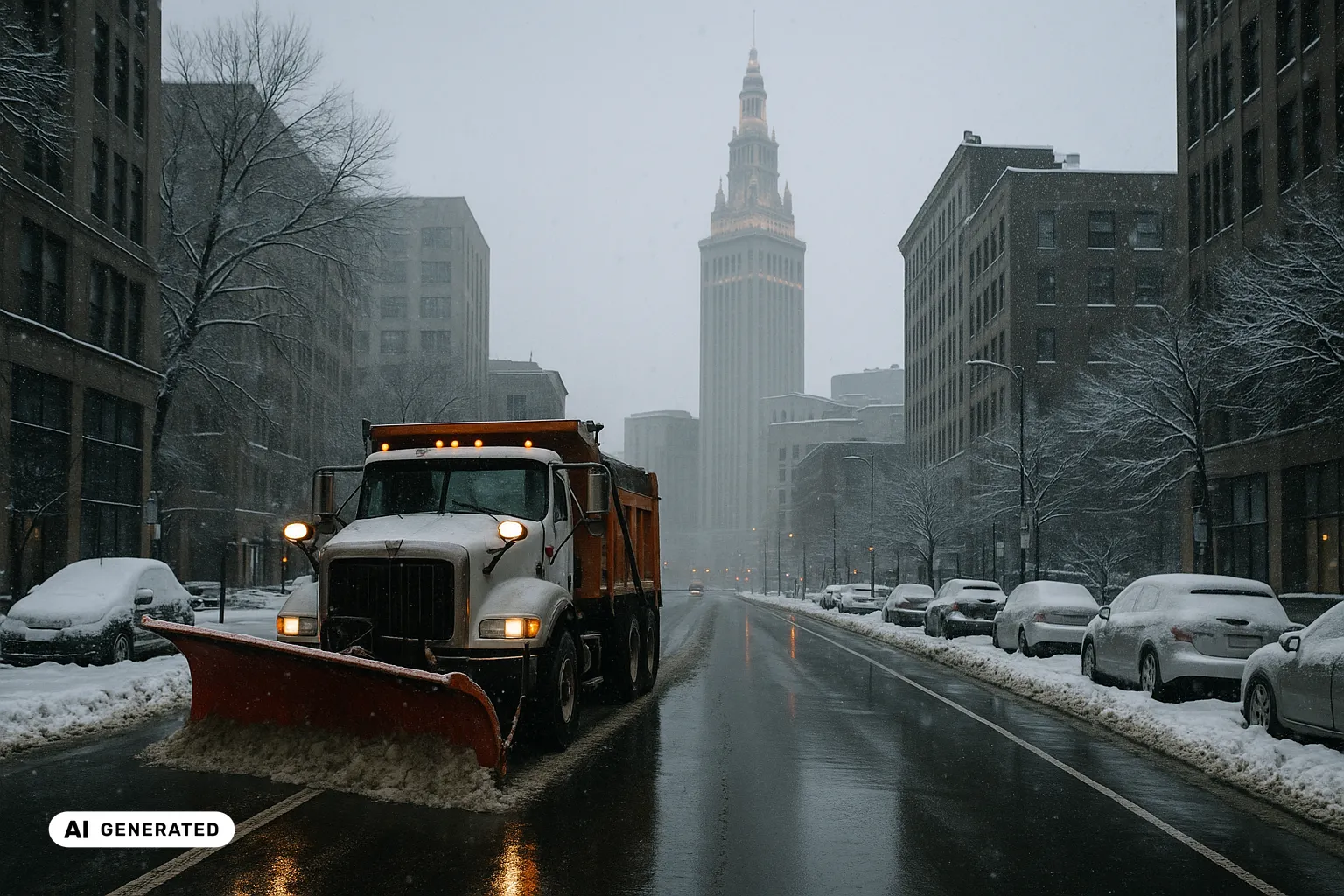
What winter actually does in Cleveland
Cleveland sits on the south shore of Lake Erie, and it climbs away from the water fast. The lakefront is at about 569 feet; Public Square, less than a mile inland, is already at 650 feet; and Hopkins Airport, five miles back from the lake, stands at 791 feet. Between them the Cuyahoga River carves the low, industrial Flats, splitting the city into a West Side and an East Side. That rise inland, and that east–west split, are most of the explanation for a Cleveland winter.
The headline number — about 63.8 inches of snow a year at the airport — is respectable, but on its own it is almost misleading, because Cleveland’s snow is lake-effect, and lake-effect snow does not fall evenly across a city. Cold air crossing the open, relatively warm water of Lake Erie picks up moisture, turns unstable, and organises into narrow, intense bands. Where those bands set up is decided by the wind — and here the wind, and the land, both point east.
So the defining fact of winter service in Cleveland is not the citywide average — it is the east–west gradient. The National Weather Service and the City’s own records describe the heavier snow as falling “especially on the East Side,” from mid-November until Lake Erie freezes over. This is a different problem from Buffalo, across the same lake, where the variance runs north–south into the Southtowns; in Cleveland the line that matters runs through the middle of the city itself.
Why the snow lands east: the snowbelt
Two things push Cleveland’s heaviest snow onto its eastern side, and they compound each other.
The first is wind and fetch. The prevailing flow in late autumn and early winter is west-south-westerly — and that happens to be the direction with the longest run of open water over Lake Erie. Air travelling the length of the lake has the most time to load up with moisture, and it arrives on the eastern end primed to snow.
The second is terrain. The ground east of Cleveland does not stay flat: it rises through the Heights and, further out, onto the Chardon ridge in Geauga County. That higher ground lifts the lake-moistened air, cools it, and squeezes extra snow out of it — the same orographic mechanism that buries hill country everywhere, layered on top of the lake-effect supply.
Put the two together and you get a snowfall gradient over a few miles. The clearest marker is Chardon: about ten miles east of the lake, up on a 730-foot ridge, it averages roughly 107 inches a year and is the snowiest city in Ohio — nearly double the 63.8 inches at Hopkins. Single storms show the same split. In November 1996, a stalled band dropped more than 70 inches on Chardon in about six days while the airport, to the west, measured a fraction of it. For anyone running winter service here, the lesson is blunt: the airport total is the floor of Greater Cleveland’s winter, not its middle.
The gradient does not stop at the county line. Two hours south, Columbus averages 28.2 inches on the same normals — under half of Hopkins, and roughly a quarter of Chardon. What does not change over that distance is the cold: the January mean low there is 21.97 °F against Cleveland’s 22.3. Same state, the same winter temperatures, an entirely different amount of snow to move.
What the local rules say
Cleveland’s sidewalk rule lives in the City of Cleveland Codified Ordinances, Section 507.13 — Clearing Sidewalks of Snow and Debris. As the ordinance is written, every owner, occupant or person having charge of an abutting building, lot or land is to clear the whole walk of snow and ice before 9 a.m. each day. If they do not, the Director of Public Service can have it cleared and charge the cost back to the owner — a lien on the property if the bill goes unpaid. The separate penalty section, § 507.99, sets a fine of no more than $5 per offence, plus $1 for each day the condition continues — or $25 a day where the property is used as a business.
Those money figures are strikingly small — almost symbolic — and that is itself worth understanding rather than dramatising. The real consequence of a neglected walk is not the five-dollar fine; it is the cost of the City doing the work and billing it back, and the ordinary civil exposure if someone is injured. A related provision, § 411.02, closes an obvious loophole: snow cleared from a private driveway may not be dumped on the public street, or on any tree lawn but the one directly in front of your own premises. None of this is legal advice — the point here is simply what the code says. Because the figures and the exact section numbers matter, the sensible move is to read the ordinance itself rather than take a summary’s word for it.
How the city clears — thresholds and snow emergencies
On the road side, the Department of Public Works, Division of Streets runs the plowing to clear, snowfall-based triggers. Once accumulation reaches half an inch, crews begin plowing and salting the main streets. On residential streets, an accumulation above two inches means salting and plowing; less than that means salting only. The work runs in priority order — main and secondary streets first, so buses, hospitals and emergency vehicles keep moving, then residential streets. The City stockpiles over 22,000 tons of salt and 23,000 gallons of liquid de-icer for the bigger events, and residents can follow the operation on an online Snow Map that shows, per street on about a 15-minute delay, when each was last treated.
The instrument that changes how a bad day plays out is the snow emergency. Cleveland declares them in three categories — Category 1 (“use caution”), Category 2 (“hazardous roads, necessary travel only”) and Category 3 (“emergency vehicles only,” strictly enforced) — and posts “Snow Ban” parking signs on the streets where cars have to move so plows can pass. When a higher category is in force, staying off the roads and clearing the banned streets is not a suggestion; it is what lets the crews actually work.
The Heights, the West Side, and the county line
It helps to picture Greater Cleveland winter service as several climates on one map. The West Side and downtown are flatter, denser and usually on the lighter edge of a band — the work there is steady plowing, salting, and keeping crossings and sidewalks passable. The East Side and the Heights — Cleveland Heights, Shaker Heights and beyond — take the volume: the deeper lake-effect totals, the climbs like Cedar Hill, the streets that need clearing more than once in a day. West of downtown, Lakewood hugs the lake; to the south, Parma, the county’s largest suburb, sits on higher ground again.
Every one of those places is its own municipality inside Cuyahoga County, with its own streets and its own sidewalk rules — Cleveland Heights, for one, has its own snow-removal ordinance. So the City of Cleveland’s 507.13 rule and its plow plan describe Cleveland proper; cross a line into the Heights or out to Chardon and the rulebook changes, even though the band overhead does not. The snowbelt cities to the east are the same weather that reaches Erie and, further along the shore, Buffalo — one long snow belt reading from Cleveland to Syracuse. Turn inland instead of following the shore and the winter changes shape entirely: Pittsburgh, off the lake, averages only 44.1 inches — but 113.6 frost nights against just 31.7 days that stay below freezing, so the work there is refreeze on gradients rather than volume.
And the highways are a separate world again: I-90, I-71, I-77 and the Innerbelt belong not to the City but to ODOT District 12, which covers Cuyahoga, Geauga and Lake counties. The wind-open Cuyahoga valley bridges carrying the Innerbelt are exactly the kind of exposed deck that ices first, whoever holds the plow.
Keeping the record straight
In a city where the same storm can leave the West Side bare and bury Shaker Heights, the useful thing is being able to show, plainly, what was done and when. Not to win an argument, but because a winter this uneven generates exactly the questions — was the route cleared, at what time, in what conditions — that a vague answer can’t settle. A simple, time-stamped record of each treatment, set against what the weather was actually doing, turns “we were out all night” into something specific. That is the documentation support Wintertrace is built to make easy — a clear log of where a crew went and when — whether you look after a single property or a fleet of routes running from the West Side out into the snowbelt. It does not change any local rule; it just means that when someone asks what happened during the last band, the answer is on file. Not a substitute for legal advice.
Local facts
- About 63.8 inches (around 162 cm) of snow falls in an average year at Cleveland Hopkins International Airport, based on the 1991–2020 climate normals — enough to make Cleveland one of the snowier large cities in the United States, though far from the worst hit in its own region.Source
- The snowiest months at Hopkins are January (about 18.4 inches), February (about 15.1 inches) and December (about 12.2 inches), with measurable snow on roughly 46 days a year and a mean January low near 22 °F (about −5.4 °C).Source
- Cleveland climbs quickly away from the water: the Lake Erie shore sits at about 569 feet, Public Square less than a mile inland at about 650 feet, and Hopkins Airport, five miles inland, at about 791 feet — and the Cuyahoga River cuts the low industrial 'Flats' that split the city into a West Side and an East Side.Source
- The snow is lake-effect and it is not shared evenly: the National Weather Service and the city's own record show heavier snow 'especially on the city's East Side', from mid-November until the surface of Lake Erie freezes, usually in late January or early February.Source
- The band lands east because the prevailing early-winter wind is west-south-westerly — the direction with the longest fetch over Lake Erie — and the higher ground east of the city, such as the Chardon ridge, lifts that lake-moistened air and wrings extra snow out of it.Source
- The result is a snowfall gradient over just a few miles: Chardon, about ten miles east of the lake on a 730-foot ridge in Geauga County, averages roughly 107 inches (272 cm) a year and is the snowiest city in Ohio — nearly double the 63.8 inches measured at Hopkins.Source
- The contrast shows up in single storms too: in November 1996 a stalled lake-effect band dropped more than 70 inches on Chardon in about six days while the airport, to the west, saw a fraction of that.Source
- Under the City of Cleveland Codified Ordinances, Section 507.13 (Clearing Sidewalks of Snow and Debris), every owner, occupant or person having charge of an abutting building, lot or land is to clear the whole sidewalk of snow and ice before 9 a.m. each day; where the walk is unpaved, a path at least five feet wide must be cleared.Source
- If they do not, the same ordinance lets the Director of Public Service have the snow and ice removed and charge the cost back to the owner (a lien on the property if unpaid); the separate penalty section (§ 507.99) sets a fine of no more than $5 per offence plus $1 for each day it continues — or $25 for each day where the property is used as a business.Source
- A further provision (§ 411.02) bars anyone clearing a private driveway from depositing that snow on a public street, or on any tree lawn other than the one directly in front of their own premises.Source
- On the roads, the City's Division of Streets begins plowing and salting main streets once snowfall reaches at least half an inch; on residential streets an accumulation above two inches means salting and plowing, and less means salting only, worked in priority order from main and secondary streets down to residential.Source
- The City stockpiles over 22,000 tons of road salt and 23,000 gallons of liquid de-icer for larger events, and runs an online Snow Map that reports, per street with about a 15-minute delay, when it was last treated.Source
- Cleveland uses three snow-emergency categories — Category 1 ('use caution'), Category 2 ('hazardous roads, necessary travel only') and Category 3 ('emergency vehicles only, travel advisory strictly enforced') — alongside on-street parking rules where 'Snow Ban' signs are posted.Source
- State and interstate highways through the area — I-90, I-71, I-77 and the Innerbelt — are maintained not by the City but by ODOT District 12, which covers Cuyahoga, Geauga and Lake counties.Source
Official contacts
City of Cleveland — Snow & Ice Control and Emergencies (Division of Streets)
How the City plows and salts: the half-inch and two-inch thresholds, the priority order, the salt and de-icer stockpile, and the snow-emergency categories.
City of Cleveland — Snow Map (plow tracker)
The live map, active during snow events, showing when each street was last treated (about a 15-minute delay).
City of Cleveland Codified Ordinances — § 507.13 (Clearing Sidewalks of Snow and Debris)
The sidewalk ordinance: the owner's duty, the 9 a.m. timing, cost recovery by the Director of Public Service, and the § 507.99 penalty.
National Weather Service, Cleveland — snow climatology
Seasonal and monthly snowfall history for Cleveland Hopkins, with the period of record back to 1893.
ODOT District 12 (Garfield Heights) — Cuyahoga, Geauga & Lake counties
The state agency responsible for the interstates and state routes across Greater Cleveland.
Common questions about winter service in Cleveland
- Do I have to shovel the sidewalk in front of my property in Cleveland?
- Under the City of Cleveland Codified Ordinances, Section 507.13, every owner, occupant or person having charge of an abutting building, lot or land is to clear the whole sidewalk of snow and ice before 9 a.m. each day. If it is not done, the Director of Public Service can have it cleared and charge the cost back to the owner (a lien on the property if unpaid), and the penalty section (§ 507.99) adds a fine of no more than $5 per offence plus $1 for each day it continues — or $25 a day where the property is used as a business. Those money penalties are small; in practice the real exposure is the cost of the City doing the work and the ordinary civil risk if someone is hurt on an uncleared walk. This is general information, not a substitute for legal advice — read the ordinance itself for the exact wording.
- Why does the East Side get so much more snow than downtown and the West Side?
- Because of where the lake-effect band lands. The prevailing wind in early winter is west-south-westerly, which runs the long way down Lake Erie and picks up the most moisture, and the ground rises east of the city — the Heights, and further out the Chardon ridge — lifting that lake-moistened air and squeezing extra snow from it. So the heaviest bands set up over the East Side and the eastern suburbs while the flat West Side and lakefront downtown, on the upwind edge, often get far less on the same day. It is the defining local fact of winter here: one snowfall total for 'Cleveland' can badly understate what fell in Cleveland Heights or Chagrin Falls.
- Why is Chardon so much snowier than Cleveland, and is it part of the city?
- No — Chardon is a separate city in Geauga County, about ten miles east of the lake and up on a 730-foot ridge. That combination of distance downwind and elevation is exactly what lake-effect snow feeds on, and it makes Chardon the snowiest city in Ohio at roughly 107 inches a year, against about 64 inches at Cleveland Hopkins. It is the clearest illustration of the snowbelt: the airport figure is the low end of Greater Cleveland's winter, not the middle.
- Where am I allowed to put the snow I clear?
- Section 411.02 of the City ordinances tells you where not to. Snow cleared from a private driveway may not be deposited on the public street, or on any tree lawn except the one directly in front of your own premises — so casting it across the road or onto the neighbouring strip is out. Snow left in the street refreezes into a hazard and gets in the plows' way, which is the point of the rule.
- What is a Cleveland 'snow emergency', and what do the categories mean?
- The City can declare a snow emergency in three levels. Category 1 is 'use caution'. Category 2 means hazardous roads and necessary travel only. Category 3 means emergency vehicles only, with the travel advisory strictly enforced. Alongside the categories, streets posted with 'Snow Ban' signs have parking restrictions so plows can get through. When a higher category is in force, the expected thing is to stay off the roads until it lifts and to move parked cars off the banned streets.
- How soon does the City plow my residential street after a storm?
- The Division of Streets works in priority order — main and secondary streets first, so buses, hospitals and emergency vehicles keep moving, then residential streets. The triggers are snowfall-based: plowing and salting on main streets once accumulation reaches half an inch, and on residential streets salting plus plowing once it climbs above two inches (salting only below that). You can follow progress on the City's online Snow Map, which shows when each street was last treated, on about a 15-minute delay. Those are targets — a persistent East Side band that keeps refilling the same streets stretches them.
- Does the snow stop once Lake Erie freezes over?
- Largely, for the lake-effect kind. Lake-effect snow needs open water for the cold air to draw heat and moisture from; once Lake Erie ices over — usually late January or early February — that engine winds down and the East Side bands ease. Erie is the shallowest of the Great Lakes and freezes earlier than the others, so Cleveland's fiercest lake-effect stretch tends to be early and mid-winter. Broad synoptic storms, the systems that snow on everyone at once, can still arrive after the freeze.
- Is winter service harder on the East Side or the West Side?
- They are two different jobs. The West Side and downtown are flatter, denser and usually on the lighter side of a given band — steady plowing, salting and keeping crossings and sidewalks passable. The East Side and the Heights face the volume: the deeper lake-effect totals, the climbs like Cedar Hill, the streets that need clearing more than once in a day. A contractor whose routes run from Lakewood in the west out to Shaker Heights or beyond is really working two snow climates on one map, and the eastern end is the one that surprises people.
- Are Cleveland Heights, Shaker Heights and Lakewood part of the City of Cleveland?
- No. Cleveland is one municipality; Cleveland Heights, Shaker Heights, Lakewood, Parma and the rest are separate cities in Cuyahoga County, each running its own streets and its own sidewalk rules — Cleveland Heights, for instance, has its own snow-removal ordinance. So the City of Cleveland's 507.13 sidewalk rule and its plow plan describe Cleveland proper. Cross a municipal line — which happens constantly across Greater Cleveland — and you are into a different local rulebook, even though the snow does not check the boundary.
Documenting winter service in Cleveland
Anyone clearing snow and ice in Cleveland may later need to show when and where a route was treated. Wintertrace is open-source software that records exactly that — time, location and weather for each run — as a calm basis for your own operational records and service proof. It is not a substitute for legal advice.
This overview is for general information and is not legal advice. Local rules on snow and ice clearing vary — the wording of the local rule and the responsible authority always govern.